
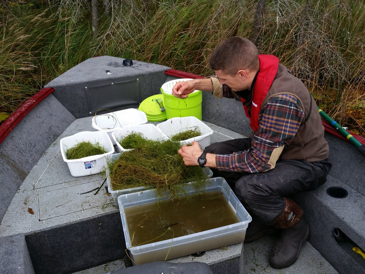
Summer is in full-swing and the growing season for native and invasive aquatic plants is well underway. It’s the time of year when managers, survey professionals, and applicators are busy doing surveys, delineations, and aquatic weed treatments. These activities take place at hundreds of lakes every year in Minnesota and along the way yield a tremendous amount of data. At the individual lake level, the information gained from a survey is used to plan a treatment area or evaluate the efficacy of a previous treatment, document baseline plant communities, or map the occurrence of native and invasive plant species across a lake. One type of survey that is of particular interest to MAISRC researchers is a point-intercept survey. That’s because this is a standardized level of survey effort and a repeatable method of data collection that can be used to look at trends across multiple lakes and over time.
MAISRC graduate fellow Mike Verhoeven has been collecting point-intercept survey results from partner groups around the state and has amassed an impressive trove of a data: 3404 different surveys from 1526 Minnesota lakes spanning nearly two decades. Lake associations, survey contractors, professional applicators, MnDNR, and other partners shared their data and from this, MAISRC researchers built an impressive database to interpret and visualize this information. With the ability to zoom out from the individual lake level and align a long time series of survey data with weather information, treatment records, and water quality metrics, we are already gaining important insights about what’s working and what’s not working in curlyleaf pondweed management and what factors influence variable treatment outcomes. This is just the start of the management decision support we can develop with this tool and it indicates the potential and the power of data sharing.
In the coming months, you’ll hear more about this database and a new, online tool that will make this survey data available to the public and easy to interpret. In the meantime, it’s important that we continue supplying the research team with new point-intercept survey data, so we can grow the analytic power of this dataset and keep current with changing conditions. In the past, one of the stumbling blocks to sharing data has been confusion and conflicts about data ownership and who has permission to share it with university researchers. One way to streamline this process and ensure that your lake’s survey data is put to use in this project is to include a brief data-sharing agreement clause in your contracts for point-intercept surveys. Whether you are a survey professional or a lake association or manager contracting out a survey, we have example language for to use in your contracts. By making sure both the surveyor and the client are on the same page about data sharing, we can keep this important survey database going.
Template language to include in contracts
For lake associations or local government managers:
Our lake association/organization is a collaborator with the University of Minnesota's aquatic plant survey database project. We wish to ensure that our survey data will be shared with the researchers and made available on a public database to inform management, monitor long-term trends, and support research.
For survey contractors:
Our company is a collaborator with the University of Minnesota's aquatic plant survey database project. By default, survey data will be shared with the researchers and made available on a public database to inform management and monitor long-term trends. If you do not wish to share your survey data, please notify us in writing.